Maps
|
|
|
|
|
|
|
|
Maps
|
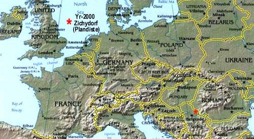
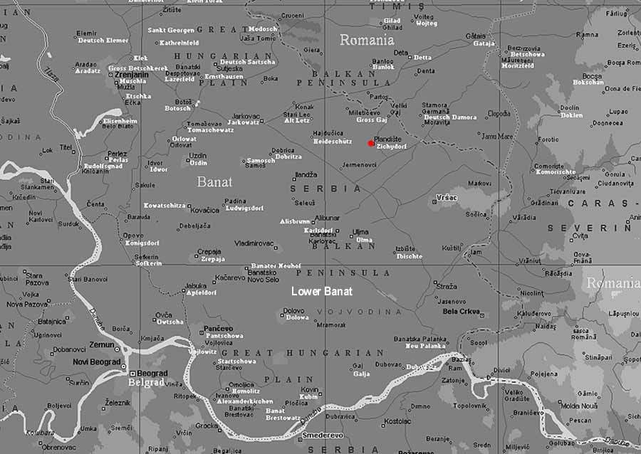
Zichydorf:
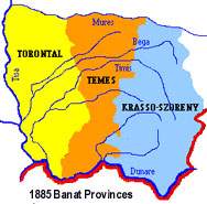
1)Zichydorf: (1787-1867)- closest large city Werschetz (german), now Versac or Vrsac. 2)Zichyfalva: (1867-1918)- Hungarian--in county Torontal. The three provinces that make up the Banat are Torontal--Temes--Krasso-Szoreny. |
| 3)Mariolana: (1918-1942)-
Serbian--Austo-Hung was broken up after WW-1. A new arbitrary country called
Yogoslavia (South-Slavs) was born including most Balkan states. The name
Mariolana was given in honour of Princess Maria of Rumania. The land assigned
to Serbia (Torontal + land west) created a new autonomous province called
Vojvodina. The 2 other Banat provinces went to Romania. Peter Hochban and
family migrate to Canada 1924.
4)Plandiste: (1945-1999) - Communist Serbia--named after a local communist leader. As of 2000, the future of this region is again in doubt because of futher conflict with the Serbs and the breaking up of Yugoslavia. |
 |
Link to Other Maps - Back to Return
|
|
1700s Austrian Empire |
|
|
1911 Europe |
|
|
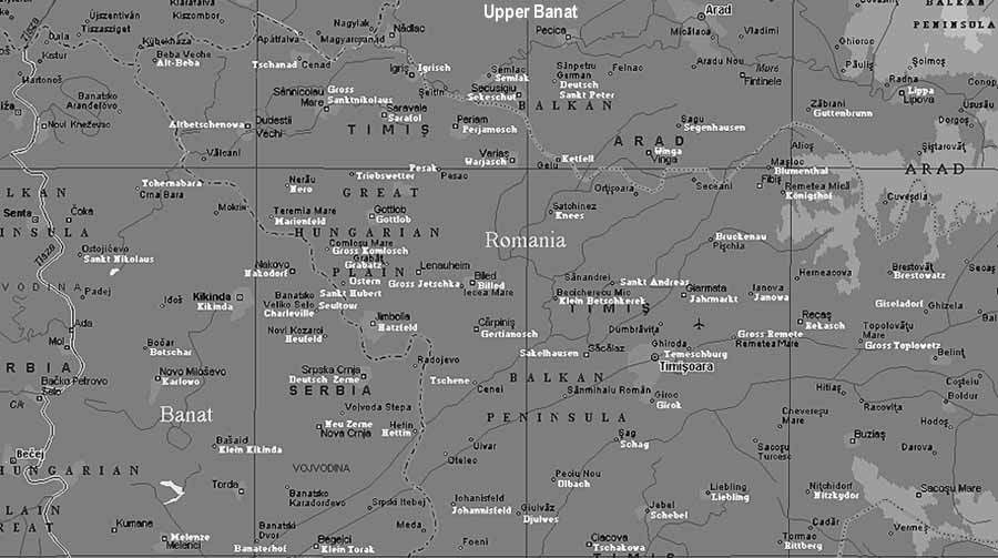
1860 - 1918 Hungarian Provinces |
|
|
1825 - The Three Banat Provinces |
|
|
1944 - Banat & Batschka Camp & Village Deaths |
| Banat with German named villages | |
|
|
|
Year 2000 Banat Region with Serb named villages |
|
|
1911 - Austria - Hungary Ethnic Distribution |
|
|
Adam Hochban (1775-77) - Verteskoma - Vertesboglar |
|
|
Hochban Origins & Migration: Landstuhl - VertesBoglar - Zichydorf |
|
|
Adam Hochban (1750) Origin Map - Obernheim - Landstuhl |
|
|
2000 - Germany - Hochban Family Locations Baden-Wurttemberg |
|
|
2000 - North America - Hochban & Birg Family |